
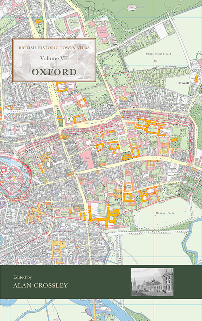
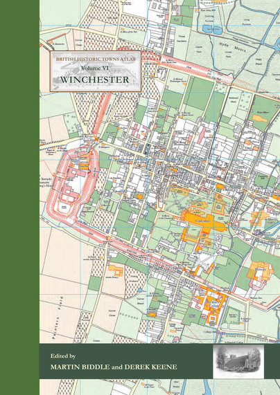
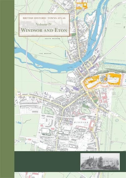
This bespoke series of beautifully illustrated, large format books is produced by Oxbow Books on behalf of the Historic Towns Trust. Each title details the urban development of a single town or city and comprises a descriptive text to accompany a series of detailed historical maps produced at scale 1:2500. A principal map, mostly based on a redigitising of a large-scale map (such as an Ordnance Survey 1:2500) from the late 19th or early 20th century, summarises the growth of the town, and shows the site of its principal medieval and post-medieval buildings and structures. This is accompanied by a series of maps showing the extent of the town at critical periods in its development (town-development maps), maps of parishes and sometimes civil wards and others showing the town in its regional and local context. A reproduction of an Ordnance Survey 1 inch (1:63,360) map rescaled to 1:50,000 shows the town’s context at the start of the railway age. The illustrated text provides a well-researched and readable summary of the topographic history of the town, incorporating the latest scholarship and concludes with a gazetteer listing all buildings, streets and other features shown on the principal map.

Registered Office: 47 Church Street, Barnsley, S70 2AS.